OSR and an isometric map

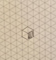
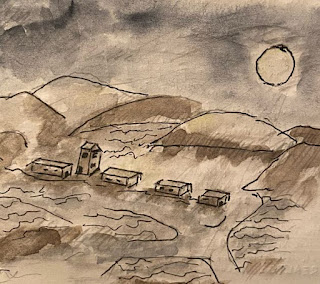
A fantasy map is just right to see what's out there. An isometric map shows heights, and drawing one starts with seeing a cube, like a mesa on the desert plain. That got me thinking. Up from TenKeep, low mountains rise above the crater near Tetrada. North, above the crater, h erders' paths trace the mountain ridges, past halfling burial lands, to a ridge trail that soars above the desert. Stones are smooth up there, from herders stopping for the vista. Here's the vista - a map drawn with West at the top, and landmarks dropping away from the Old North Road (top edge), past the big mesa, and two maybe three days east to La Gama (bottom edge) , a desert town known for winter farming. Along the map's southern edge (left side), you can see where the old mapmaker sketched-in the stony steps, from the vista-point back down to the desert. Thanks for reading.


